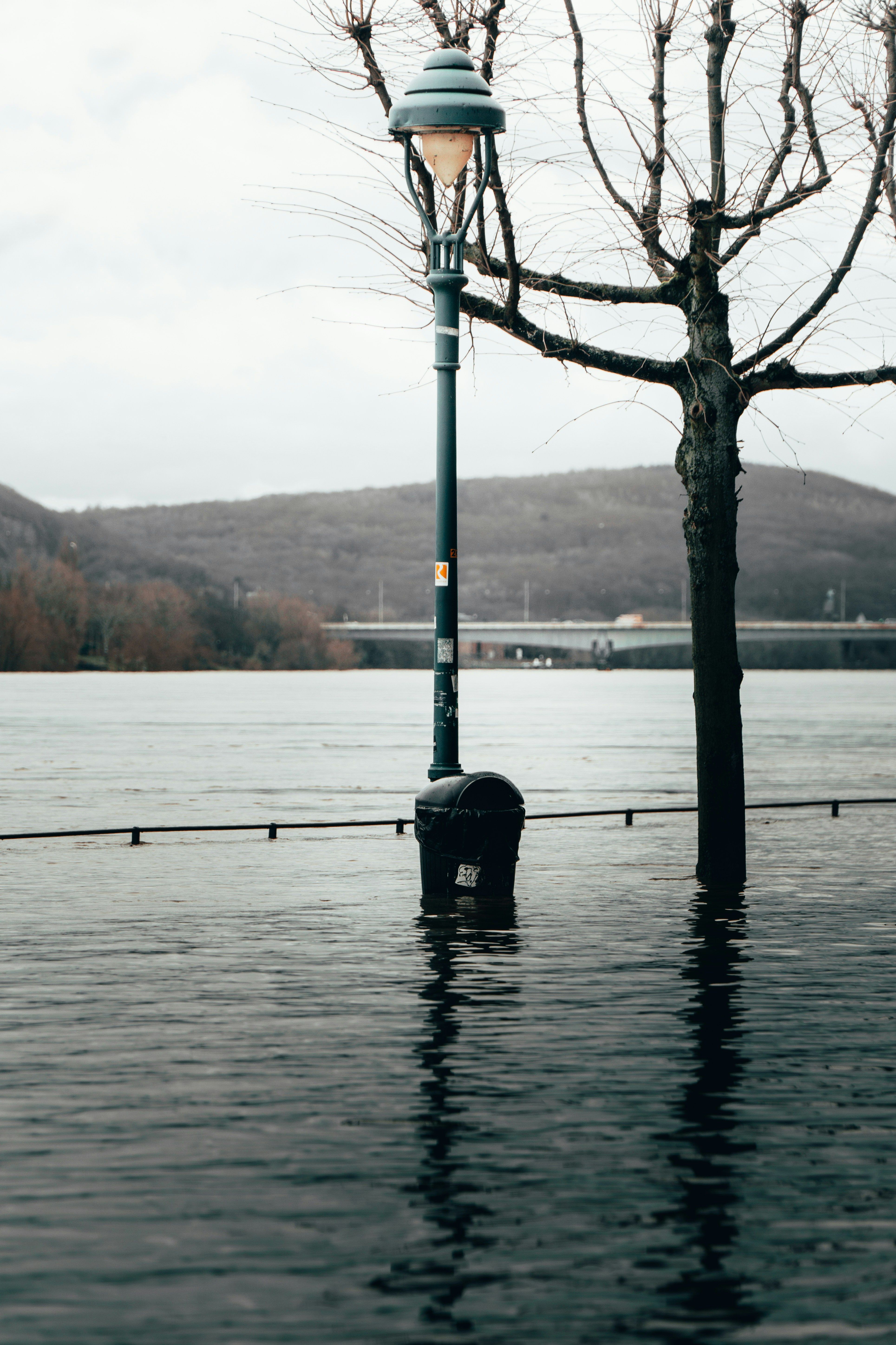
“Water knows no borders,” said Martin Kepser, Mayor of Kranenburg, during the presentation of the route map at the restaurant “De Thorschen Molen”. The traces of the water are still visible. The German-Dutch local history association “Die Düffel” has produced a bilingual route map featuring 17 locations where visitors can trace this history, for example by looking at old flood marks on churches.
The route map is available for free (whilst stocks last) at:
• Rheinmuseum Emmerich
• Town halls in Berg en Dal, Kranenburg and Kleve
The route map forms part of the project and is made possible by the Interreg Deutschland-Nederland programme and its programme partners, and is co-financed by the European Union (EU).
